3D Polygon
A 3D polygon is a polygon with the addition of a Z coordinate at each vertex. 3D polygon objects appear as polygons in the plot window and as 3D polygons in the 3D view window. Properties of 3D polygons may be changed in the plot window.
Click on the 3D Polygon in the Contents window to see the Z coordinates displayed with the X and Y coordinates on the Coordinates page in the Properties window of the base layer. Coordinates for 3D polygons may only be changed from the plot window.
Note: Z values are not exported in BLN or DXF file types.
|
| Click on 3D polygon objects in the plot window to change their properties. |
Add 3D Polygons to a Map
Polygons are added to maps by importing files that contain 3D polygons or by creating 3D polygons in the plot window of Surfer. Very large widths are constrained in the 3D View window and 3D objects will be clipped at the map extents.
Import 3D Polygons
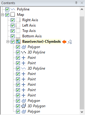
Files that contain polygons with Z values at XY vertices will be imported as 3D polygon objects. 3D polygons can be identified as "3D Polygon" by default in the Contents window.
Create 3D Polygons in the Plot Window
3D polygons cannot be created in the 3D view window. Draw a new 3D polygon from the plot window create a polygon. Convert it to a 3D polygon by clicking on the Features | Change | Change Polygon to 3D Polygon command.
The polygon's name should change to the default "3D Polygon". Use Rename Object to change the object name.
3D Polygon Properties
To edit a 3D polygon, click once on the 3D polygon in the plot window to select it. In the Properties window, the properties are listed. The 3D polygon properties contain the following pages: