Data Best Practices
A wide range of data formats can be used in Surfer and most of them can be opened in the Worksheet Document window such as CSV, XLSX, and TXT. The worksheet document provides a preview of the raw data where you can edit, add, and save your changes to the raw data.
For most data manipulation you can continue to use your favorite worksheet program. However, there are a few things you can do in Surfer's worksheet that can save you time and energy during the map making process. In this exercise we will assign XYZ columns and a source coordinate system to the data.
Open the data in the worksheet document:
- Click the File | Open in Worksheet command.
- In the Open dialog, navigate to the sample files folder (C:\Program Files\Golden Software\Surfer\Samples by default).
- Select the Well_measurements.xlsx data file.
- Click Open.
- Click OK in the XLSX Import Options dialog.
- Click File | Save | Save As and save this file to a new location. (Surfer does not allow you to save files to the Samples folder to protect the sample data)
XYZ Columns
Surfer requires data sorted in columns. A dataset can have as many columns as you’d like, so long as you know which columns correspond to the X, Y, and Z variables you plan to map.
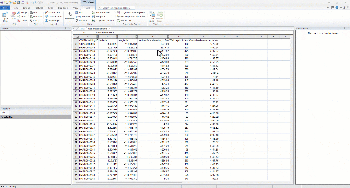
The Well_measurements.xlsx dataset contains:
-
X coordinates in the C column (Longitude)
-
Y coordinates in the B column (Latitude)
-
Z coordinates in the F column (groundwater elevation in feet)
To assign the X, Y, and Z variables to the correct columns:
-
Click Data | Data | Assign XYZ Columns.
-
In the Assign XYZ Columns dialog:
-
Click in the X (Easting) column field and select Column C: Longitude.
-
Click in the Y (Northing) column field and select Column B: Latitude.
-
Click in the Z (Elevation) column field and select Column F: Water-level elevation.
-
Click OK.
-
Completing this step in the worksheet will ensure Surfer uses the correct columns to map or grid the data without selecting them manually.
Note that these column assignments are not retained after the worksheet is closed.
Source Coordinates
The next step we can complete in the worksheet to make our lives easier is to tell Surfer which coordinate system was used to collect the data.
The coordinate system used to collect data or create a data file is called the source coordinate system. Some websites and instruments will include this information when a data file is downloaded or created but it is not uncommon for this information to be missing.
The Well_measurements.xlsx dataset was collected using the WGS84 coordinate system. To assign this system to the data:
-
Click Data | Coordinate System | Assign Coordinate System.
-
In the Assign Coordinate System dialog:
-
Enter world in the search bar and press ENTER.
-
Click in the + next to Geographic (lat/lon) to expand the list.
-
Click World Geodetic System 1984 to select it.
-
Click OK.
-
This process creates a new Golden Software Reference File (.GSR2) that is automatically saved to the same location as the data file. As long as this new file is kept in the same location as the data file, Surfer will be able to read the coordinate system information automatically when the file is used.
You're now familiar with Surfer's user interface and data best practices, it's time to do the fun stuff!
Let's grid our well measurement data...
Back to Getting Started
Next to Gridding Data