Selecting Points
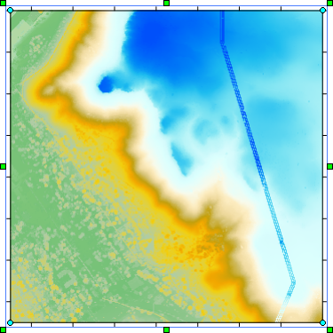
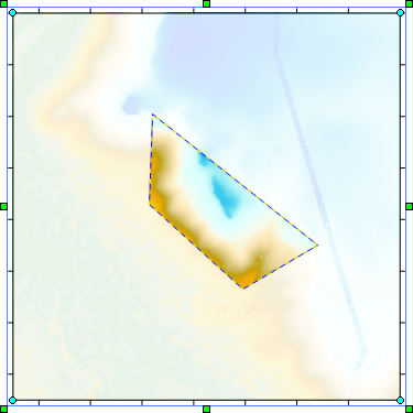
Points in the point cloud layer can be reclassified, removed, and/or exported. First the points must be selected. The Point Cloud ribbon tab includes three commands for selecting points in the point cloud layer: Criteria, Rectangle, and Polygon. When one or more points is selected the selected point(s) are surrounded by a blue dashed line. Regions of the map with no selected points are faded, and the region that includes the selected points is highlighted.
|
|
|
The Polygon command was used to select points in the trapezoidal region in the center of the map. |
Once you have selected the desired points, use the Reclassify, Remove Classifications, Crop to Selection, or Remove Selected Points commands to modify the layer. To export the selected points, use the Export LAS/LAZ command and select the Selected points only option in the Export Point Cloud dialog.
Click the Deselect All command to deselect all points. The dashed blue line is removed, and the layer returns to its normal appearance.
|
|
|
The map returns to its normal appearance when no points are selected. |